
Historic Columbia River Highway Road Conditions
Current and forecasted road weatherWeather along your route
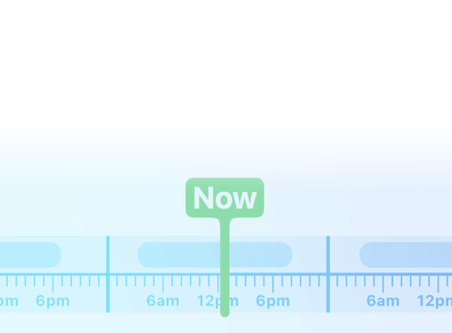
Customised forecast based on your route and travel speed.
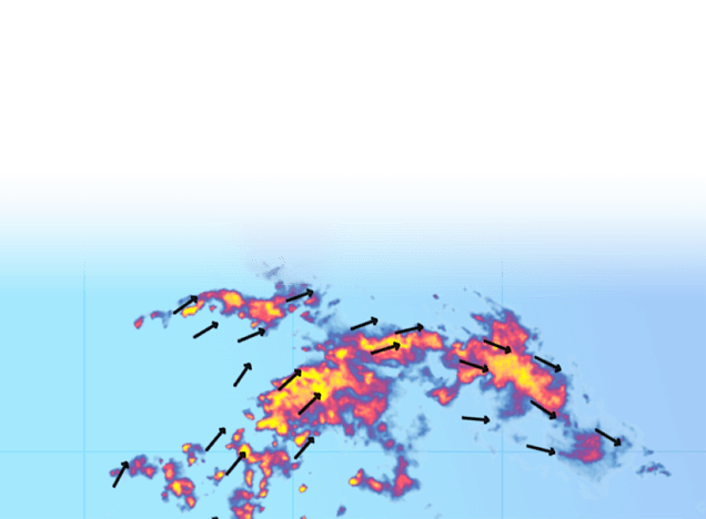
Live and future weather radar
See how storms impact your travel plans
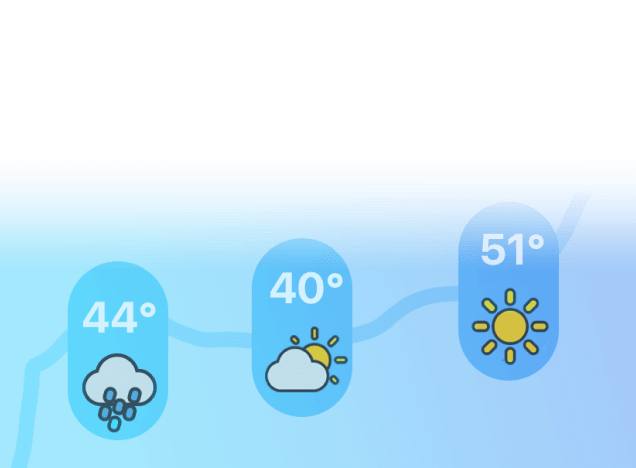
Weather up to 7 days in advance
Pick the best time to leave and route to take.
Road conditions
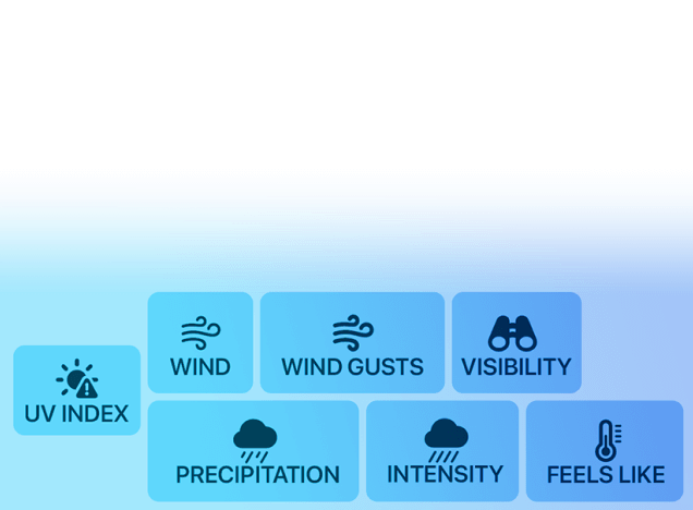
Goverment alerts, road surface conditions, visibility and more.
Weather along your route
Customised forecast based on your route and travel speed.
Live and future weather radar
See how storms impact your travel plans
Weather up to 7 days in advance
Pick the best time to leave and route to take.
Road conditions
Goverment alerts, road surface conditions, visibility and more.
Forecast for next 6h
Updated at 10:26 AM
Lowest temperature
55 °F
In 2h 33min
Cascade Locks, Oregon
Highest temperature
71 °F
In 5h 33min
Chenoweth, Oregon
Wind forecast for the next 6h
Highest wind
12 mph
In 1h 33min
Chenoweth, Oregon
Historic Columbia River Highway
See live weather forecasts for Historic Columbia River Highway; road conditions are displayed on the map above.
It is a All-American Road route, running from White Salmon, Washington, through Troutdale, Washougal, Sandy, and Chenoweth finishing in Cascade Locks, Oregon. It crosses 2 states, including Oregon and Washington.
The map shows live weather conditions on Historic Columbia River Highway. The forecast is provided for next 6 hours on points along the route and includes temperature as well as weather conditions – clear skies, rain, storm, snow, high wind, hail and more.
A Perfect 2-Day Road Trip Through the Columbia River Gorge
The Columbia River Gorge is an ideal 2-day scenic road trip in the Pacific Northwest. Just east of Portland, this dramatic canyon packs waterfalls, cliffs, and historic viewpoints into a short, unforgettable drive. Follow the Historic Columbia River Highway past Crown Point Vista House, Multnomah Falls, and roadside cascades, then spend the night in Hood River with its breweries, orchards, and river views. Day two loops through Cascade Locks, the Bridge of the Gods, and Bonneville Dam before heading back west.
Weather in the Columbia River Gorge can shift quickly due to strong microclimates, so checking conditions along your route is key. Use our Columbia River Gorge weather forecast to plan each stop with confidence.