
Wichita Mountains Byway Road Conditions
Current and forecasted road weatherWeather along your route
Customised forecast based on your route and travel speed.
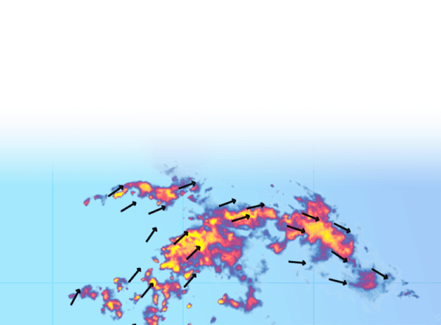
Live and future weather radar
See how storms impact your travel plans
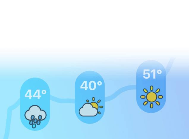
Weather up to 7 days in advance
Pick the best time to leave and route to take.

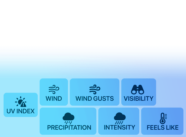
Road conditions
Goverment alerts, road surface conditions, visibility and more.
Weather along your route
Customised forecast based on your route and travel speed.
Live and future weather radar
See how storms impact your travel plans
Weather up to 7 days in advance
Pick the best time to leave and route to take.
Road conditions
Goverment alerts, road surface conditions, visibility and more.
Forecast for next 6h
Updated at 11:56 AM
Lowest temperature
73 °F
In 3 min
Cache, Oklahoma
Highest temperature
97 °F
In 5h 3min
Carnegie, Oklahoma
Wind forecast for the next 6h
Highest wind
14 mph
Now
Carnegie, Oklahoma
Wichita Mountains Byway
See live weather forecasts for Wichita Mountains Byway; road conditions are displayed on the map above.
It is a National Scenic Byway route, running from Cache, Oklahoma, through Lawton and Carnegie finishing in Apache, Oklahoma. It is a route in state Oklahoma.
The map shows live weather conditions on Wichita Mountains Byway. The forecast is provided for next 6 hours on points along the route and includes temperature as well as weather conditions – clear skies, rain, storm, snow, high wind, hail and more.